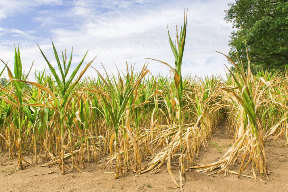
KANSAS CITY, MISSOURI, US — Drought continues to prevail from southwestern Canada’s Prairies through the entire western half of the United States. January and February weather allowed the drought to expand eastward into the western US Corn Belt, which is a bad omen since winter is normally a time for diminishing drought rather than expanding it.
La Niña conditions have prevailed since 2020 and its persistence can be largely attributed to the dryness. Some forecasters recently have been debating over how long the event will last, but World Weather Inc. says it really will not matter much once we reach June.
La Niña events remove moisture from the mid-latitudes in both the Northern and Southern Hemisphere. The mere presence of La Niña for the past 20 months has allowed the phenomenon to remove notable amounts of moisture from the atmosphere. Dryness that occurred last summer in Canada and the central United States impacting crop production could easily be attributed to La Niña with some help from the negative phase of Pacific Decadal Oscillation (PDO). Dryness last summer in Russia’s eastern New Lands and Kazakhstan also can be linked to La Niña.
Most La Niña events only last eight to 14 months, and younger forecasters were beginning to think that La Niña was no longer having much impact on the world’s weather because it had been so long since an event has persisted this long. The most recent occurrence of prolonged La Niña conditions was 2010-12, lasting 23 months and leading to the now famous US 2012 drought. Prior to that event the previous drought of significance in the United States occurred in 1988. However, a part of the North American continent also was impacted by drought from the year 2000 through 2004 with Canada and a part of the central US most impacted.
Similar, multi-year droughts occurred in the 1950s and 1930s and each were associated with lengthy La Niña events. Canada’s Prairies suffered the greatest agricultural production losses in 2021 and it was impacted notably in 2000-02 before finally abating as the drought shifted to the southeast into the United States the following year.
Each of the prolonged La Niña events always occurred shortly after the solar minimum in sunspots. There seems to be a great association between prolonged La Niña events and the years following a solar minimum. Normally, the longer La Niña events occur in every other 11-year solar cycle. To put it more simply the occurrence seems to occur most routinely every 22 years. That was not the case in 2010 to 2012, but most other significant La Niña events tended to be tied to the same 22-year solar cycle we are in today.
The next few weeks offer an opportunity for rain to fall more frequently and more significantly from the central US Plains into the upper Midwest. It will be the most favored period for rainy weather over the next several months. If rain frequency and intensity get high enough drought could be reduced in the Plains and western Corn Belt and that will provide an improved opportunity for some needed time for spring planting to take place while soil moisture is favorable. However, if weather patterns are less accommodating for significant rain in these next few weeks, warm to hot temperatures and dry weather will begin reducing the potential for any further relief from drought.
La Niña will have much to say about the precipitation distribution across the heart of North America during the next several weeks. The latest ocean surface temperature data suggests La Niña is reasserting itself after weakening in late February and the early days of March. The key question that begs to be answered is, how much longer should the La Niña event prevail?
Just a few weeks ago, many forecasters were suggesting La Niña would dissipate in the spring, but that has not occurred and it is not expected either. The statistics suggest La Niña will prevail longer and that has been this meteorologist’s concern for an extended period of time. All indicators are suggesting this La Niña will be around through the entire spring and now there are a few forecasters suggesting it will linger into the summer.
World Weather, Inc. believes that it will not matter whether La Niña prevails after June or not. The reason for this is multi-faceted. First, If La Niña were dissipate in June there would be a lingering footprint in the atmosphere that would likely linger for a couple of months. Second, this La Niña event has not yet lasted as long as those that have occurred in the past.
Most of the previous extended La Niña events that occurred after the solar minimum and were accompanied by the negative phase of Pacific Decadal Oscillation lasted 23 to 36 months. With this month being the 20th La Niña month in a row since 2020 there is some potential for it to last longer. Thirdly, looking at sub-surface ocean temperature anomalies across the equatorial region of the Pacific there is good support for a slightly better organized La Niña that may gain a little intensity for a while.
With drought already in place across the central and western parts of North America there will already be potential for a high-pressure ridge to develop over the US Great Plains during the middle and latter part of spring. If La Niña lasts through spring that would be long enough for the summer ridge of high pressure to begin to build strongly across the region prior to the arrival of summer heat.
The earlier-than-usual development of high pressure in the central United States will suppress rain events and allow warming to occur, which will further exacerbate the dryness. Once a well-defined high-pressure ridge evolves over the US Plains it will suppress rainfall and block weather systems from coming into the region from the west.
Essentially, La Niña conditions that last through spring will leave behind enough dryness in agricultural areas to allow drought to begin festering, expanding and intensifying, which could lead to a more serious bout of dryness. If La Niña goes away after the ridge is well established in June there would not be enough time to change the weather pattern until seasonal cooling arrives in the late summer or autumn resulting in a more persistent ridge of high pressure and greater drought regardless of what happens to La Niña after June.